The Wildflower Impulse
A Work of Richard Gorman
All contents ©Richard J. Gorman 2007 - 2028
![]()
North Fork Yuba River, Canyon Creek Trail, February 9, 2008
This report on conditions found on Canyon Creek Trail on the North Fork in February 2008 is meant
to be shared with the good folks at Tahoe National Forest. The snowstorms
had ended a week before the hike. The trees down on the trail severely impeded our trek to the mouth of Canyon
Creek, perhaps as many as two dozen "incidents". The nine incidents pictured below are on the section
of the trail from Cherokee Creek to Brummel Ravine, representing less than half of the incidents, which are distributed
all along the trail.
Richard has previously submitted a report to TNF on Canyon Creek Trail, questioning the pending designation of parts of the trail as motorized-accessible,
including the section where these photos were taken.
(Click the little picture to see a bigger one; use your Back button to return.)
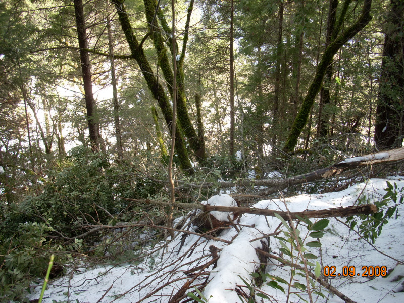
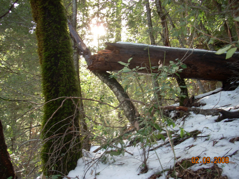
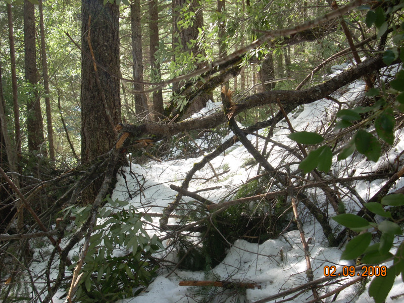
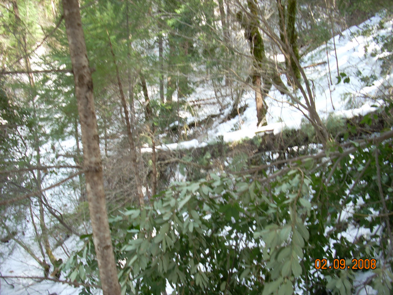
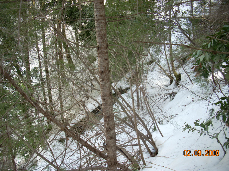
The first two pictures are parts of one of the worst multi-tree incidents, near the Brandy
City Trail head. The trail is completely blocked here; we went up and over around it.
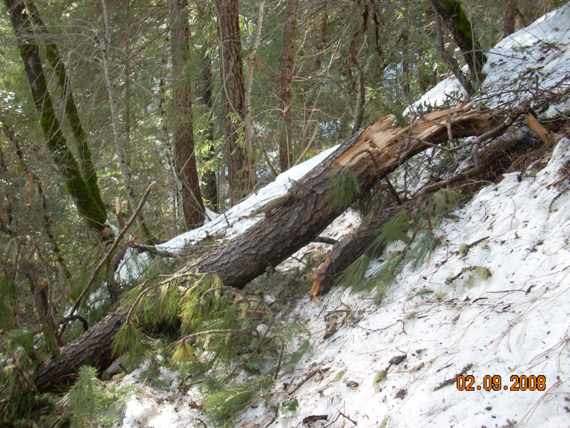
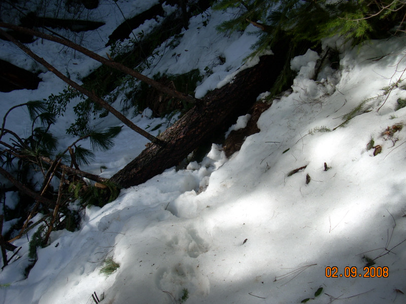
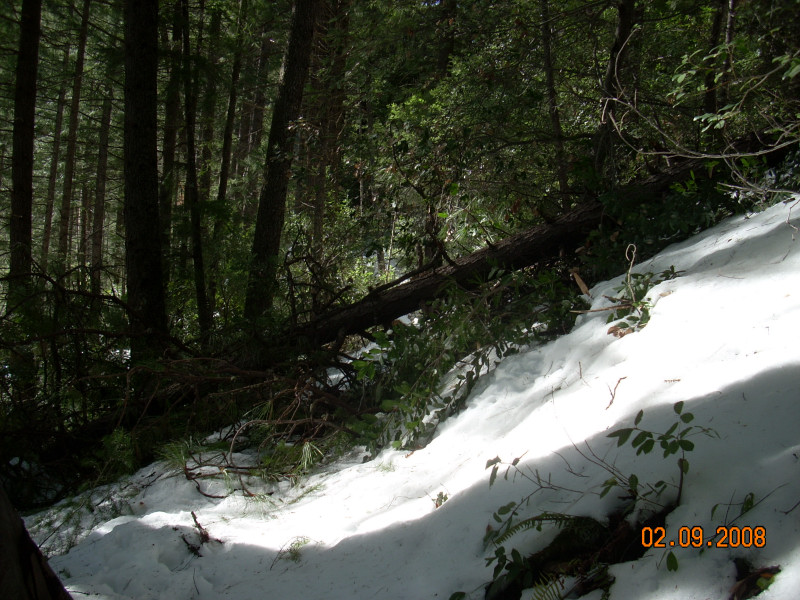
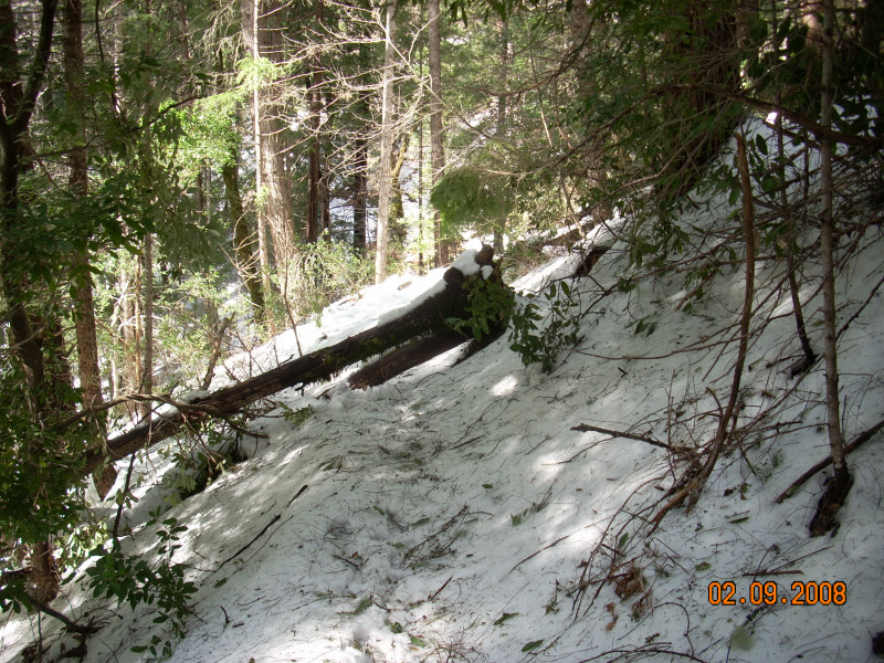
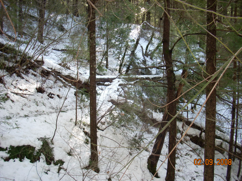
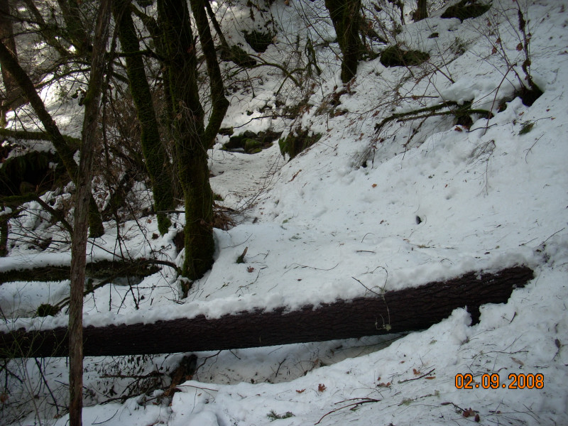
The second pair are of two single-tree incidents, both live trees that have snapped off, perpendicular to the trail.
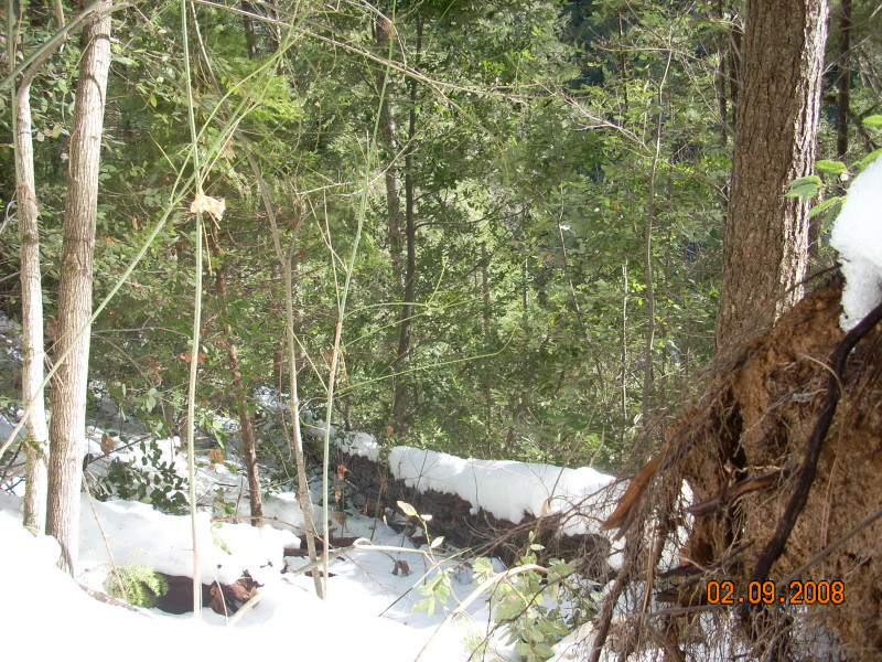
The next two I called "little mess" and "big mess", and obstruct the trail with a lot of brush.
Again, both were live trees.
During this portion of the hike, we were following the trail of a mountain lion, which was tracking a deer. At
a few of the obstructions, we checked to see which way the cat went, then followed it. Seemed like a good idea
at the time.
Next is an uprooted tree at the edge of the trail, with fresh soil in its roots. It was a tall one.
The next-to-last pair, and the one on the bottom left are all views of another really bad multi-tree incident.
In the bottom left photo, looking back at it, you can see the three largest trees in this mess, two perpendicular
to the trail, and a third (looks like the crossbar on the "H" in the middle of the picture) is lying
right on the trail. We side-hilled down and under around this one.
The last one is in Brummel Ravine, just past the creek crossing. Again, these photos do not show all of the down
trees in this section, and certainly not all of the perhaps two dozen incidents along the length of the trail.
![]()
![]()
This page has been visited
times since January 2008
All contents ©Richard J. Gorman 2007 - 2028
You can write him here.